Showing posts with label Start- Del Norte County. Show all posts

Wednesday, December 09, 2020

Smith River Collection

The Smith River in Del Norte County, California has a vast network of gravel roads and mountain bike trails.  The Smith River Guide produced by the Six Rivers National Forest is an excellent resource and includes an overview map as well as descriptions of all the mountain bike trails.  One major note- the guide shows a permanent road block on the 17N05 road, which was repaired the fall of 2020.  This is an important road to access the Bear Basin Lookout from Highway 199 or to complete various gravel loops.  Some of the scenic drives in the guide make good gravel exploration rides.  

There are many reasons to visit the Smith River including:


Amazing forests of old growth trees and rare plants to view along your ride


Great swimming spots in crystal clear water after a hot ride


Scenic vistas at fire lookouts make great cycling destinations


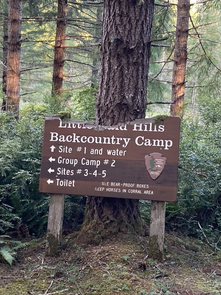
Multiple campgrounds making great base camps or bikepacking stops


I started a Smith River Collection of routes on ridewithgps.  This is a new format for me.  Instead of describing each ride here as a separate blog post, the rides are grouped by zone and described in ridewithgps.  I'm focusing on gravel and mountain bike routes in the Smith River Collection. 


Monday, December 07, 2020

Smith River Lighthouse to Lookouts Bikepacking Route

Distance:  144 miles

Climbing: 25,540'

Difficulty: Epic


    The Smith River in Del Norte County, California is a hidden gem located in the extreme northwest corner of the state on the California-Oregon border.  The route travels through state and national parks as well as two national forests including Jedediah Smith Redwoods State Park, Redwood National Park, Smith River National Recreation Area of the Six Rivers National Forest, and a small portion of the Rogue River-Siskiyou National Forest.  Beginning at Battery Point lighthouse on the coast, the route heads straight out of Crescent City to an ancient coast redwood forest.  Within 4 miles the route turns to gravel as it winds through a grove of giant redwoods in Jedediah Smith Redwoods State Park.  The forest habitats along the route have a high variety of conifer species and unique plants due to diverse topography, geology, and climate.

  • The route crosses all three forks of the Smith River, which is known for its crystal clear water, amazing swimming holes, and abundant native fish and wildlife. The Smith River was added to the National Wild and Scenic Rivers System in 1981.  It is an undammed and free-flowing river.
  • There are many camping options including a backcountry camp, developed campgrounds, dispersed camping, and the Bear Basin Butte USFS rental lookout
  • Two existing forestry fire lookouts provide spectacular views
  • The route utilizes a network of USFS gravel roads that are generally well maintained with several route options.  The route avoids major highways and is limited to less than 1 mile of highway travel.
  • There is year-round water throughout a majority of the route
  • Elevation ranges from sea level to just over 5,000 feet. Recommend riding from June to October due to potential for snow at higher elevations. Prime time is July to September to take advantage of warm temperatures and swimming opportunities
  • Summers are dry and warm with temperatures ranging from 80-100 F. The rainy season from October to April has an average annual rainfall of 90 plus inches
  • The route is climbing intensive with several extended climbs. Recommend ample mountain bike gearing and minimum 2” tires for the singletrack and some rough gravel sections.
  • Recommend 3-5 days, but your YMMV